restoring the neponset
This was a thesis project in collaboration with two other students to design a system in which landscape and architecture work together to produce a highly efficient and productive ecology.
We were first asked to separately study a structural system (diagrids and shells) and a plant species (Phragmites Australis) and were then tasked with designing a system with them. Although challenging and very fast-paced, the semester was a great exploration of how to mediate the relationship between the built and natural worlds. It reminded us of the importance of considering the effects construction and development have had on our environments, and the importance of changing our design mentalities moving forward.
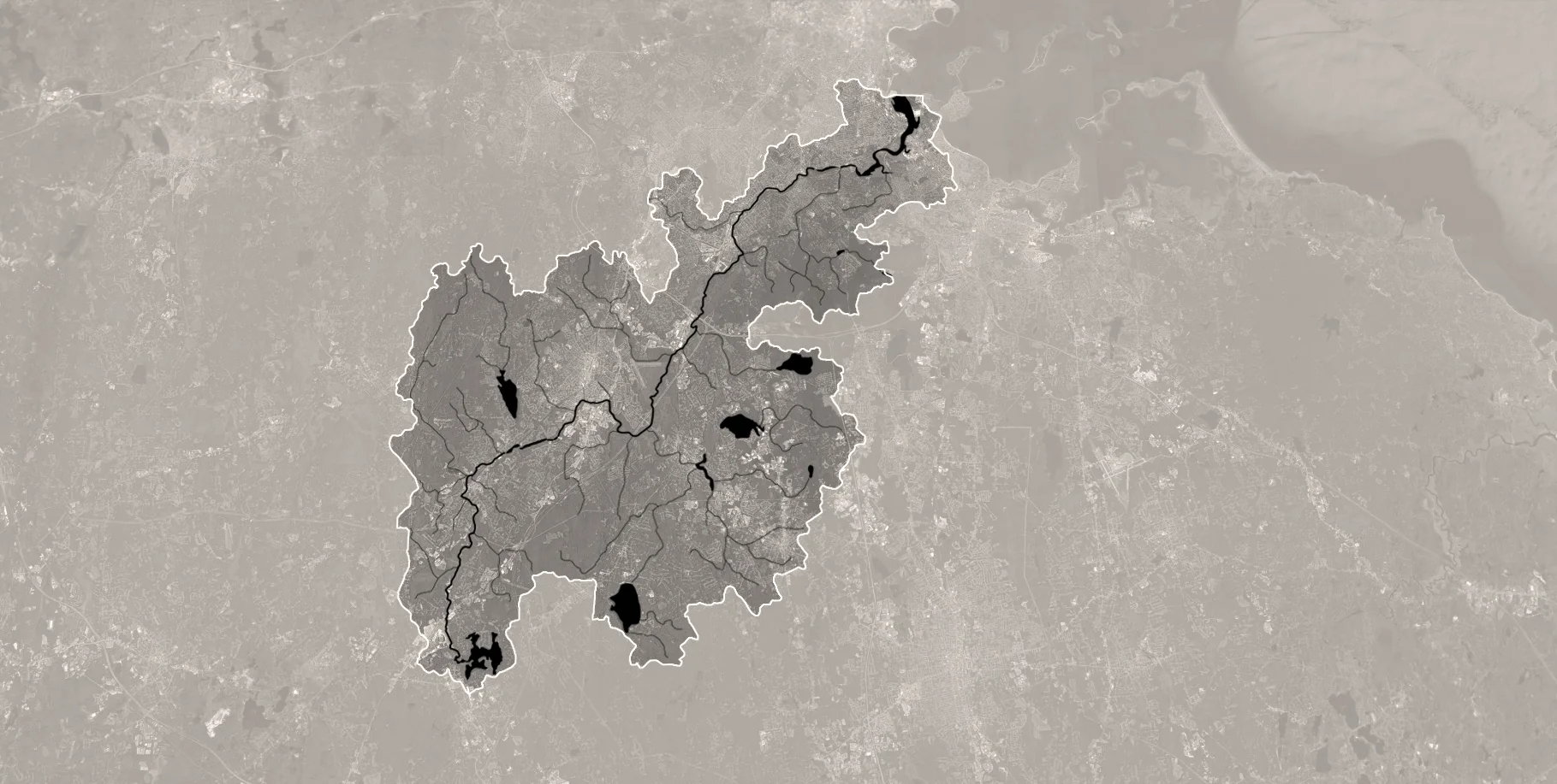
We were presented with a very large site south of Boston in the Neponset River estuary. Extensive site studies showed that it had undergone drastic ecological changes due to industrialization. We chose the site for our building close to the mouth of the river because of it was the meeting point of the river, the i-93 highway, and the red MBTA line. What used to be an active salt marsh that contributed to water quality maintenance, wild animal habitats, and protection against storms and sea level rise, was now reduced to an unappealing space surrounded by congested urban development.
Ecological disruption was also caused by the introduction of the invasive plant species Phragmites Australis which spreads quickly and inhibits the growth of other wetland plants, thereby diminishing the efficiency of marshes. However, after learning that these plants are great for soil remediation, sea level rise, and storm protection, we decided to design a center that could act as a prototype to help restore marshlands and ecological diversity in the Neponset River.
Section of a generic wetland ecotone which suggests what the site might have looked like before the industrial revolution. Although phragmites grows close to the water, they are most helpful when planted higher above the lower wetlands plants such as spartina
Diagram showing the existing dams, transportation infrastructure, and recreational amenities around the site.
Section of the existing ecotone on the site. The truncating of the marshlands overtime has led to major changes in the ecology and will cause significant problems in the future due to sea level rise
Diagram showing the ecological history of the site from the 1600’s to the present
Diagram showing the risk of two foot and six foot sea level rise on the site
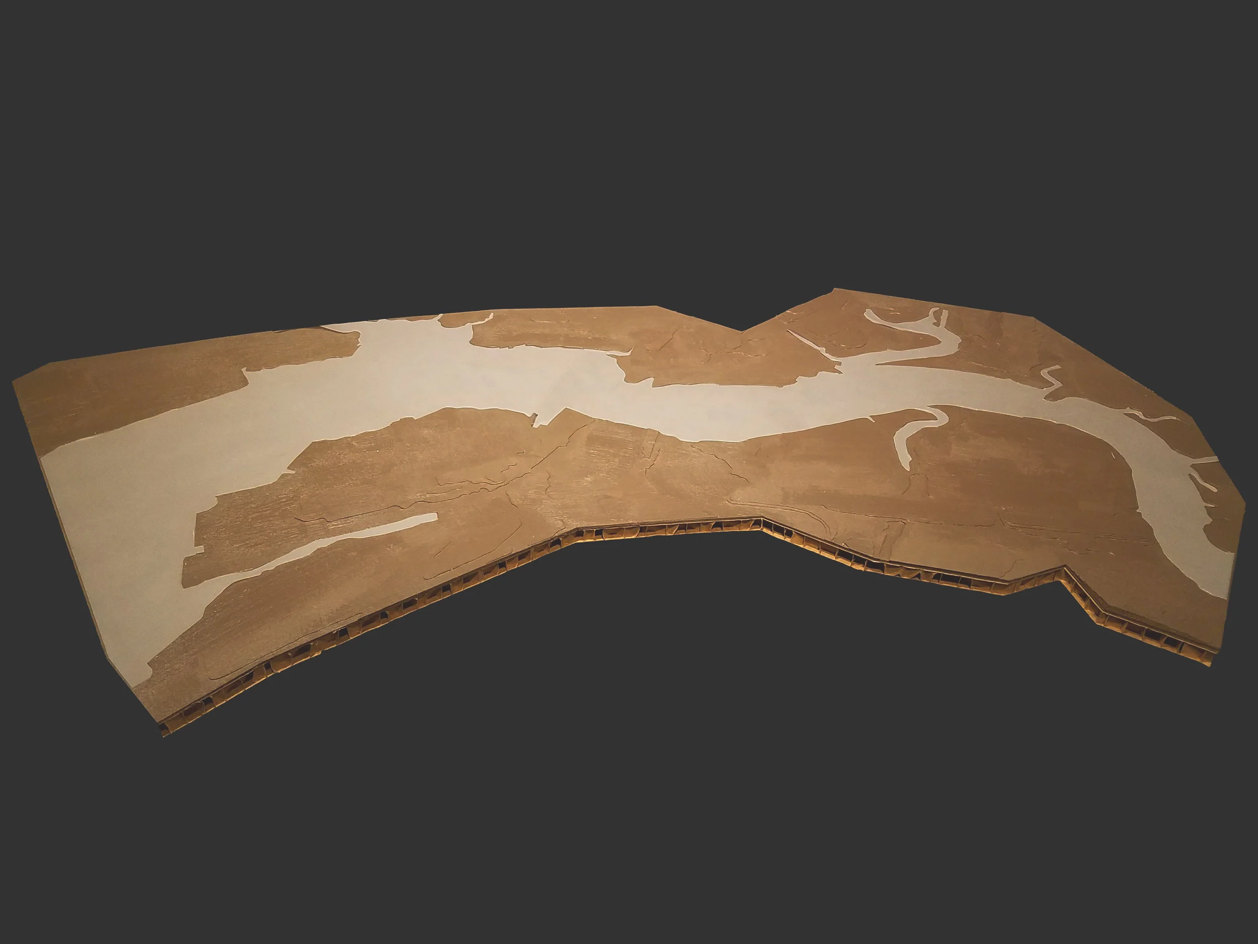
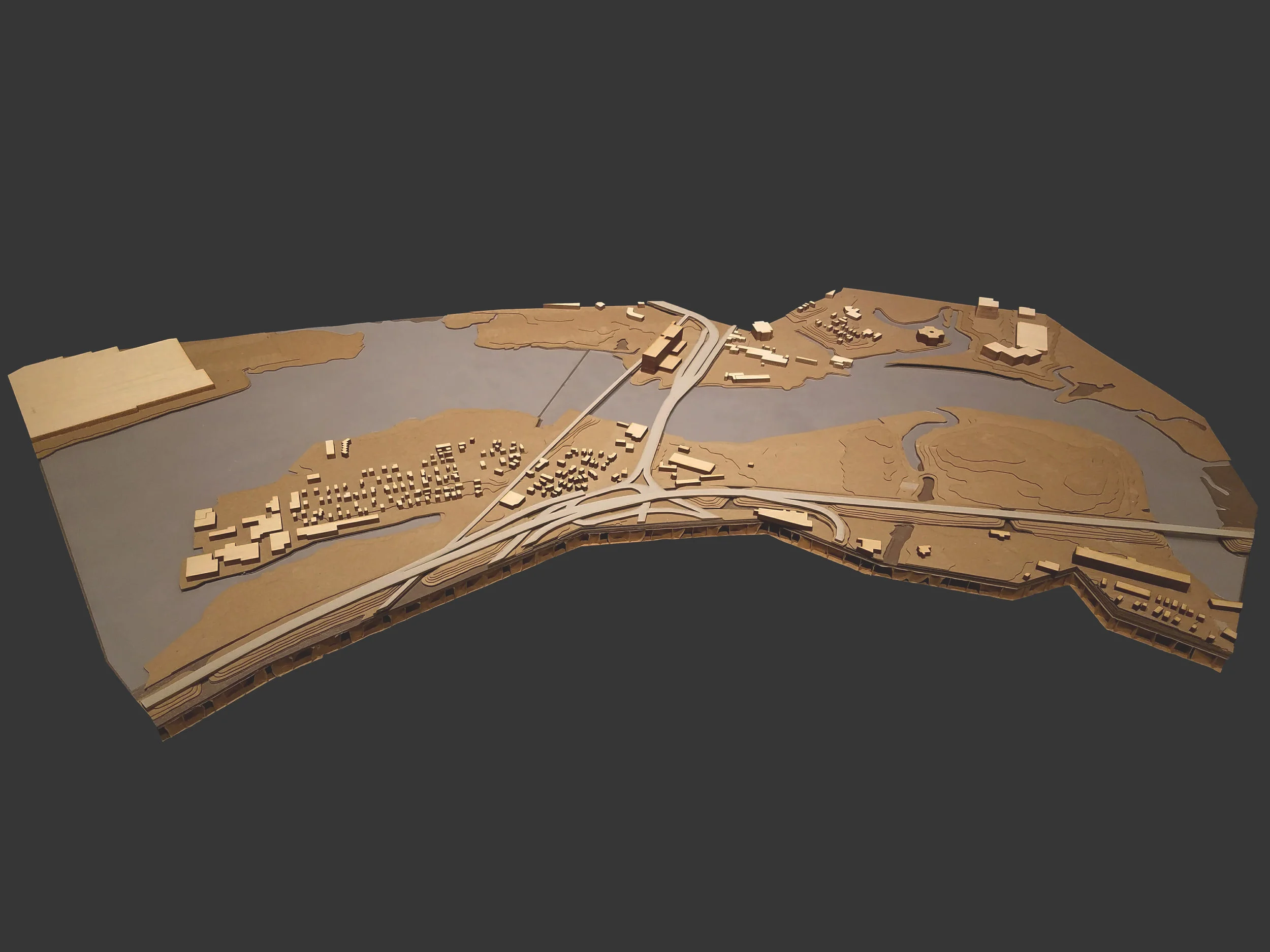
Diagramatic Model Photos


Our strategy to restore the Neponset was to collect soil from where it had built up along dams and use phragmites to treat it, after which it could be used or returned to the river. Our site would act as a prototype for other remediation centers that would similarly treat contaminated soils along the Neponset and eventually restore the river back to its original health.
Diagram showing the localized remediation strategy plan closer to the site which sends soil built up at dams to our site to be processed
Diagram showing the entire Neponset river watershed map
Diagram showing the larger scale remediation plan of the river

Diagram showing the life cycle of the phragmites plants and contaminated soil as they go through the remediation process. Our intention was to create very little waste and use the plants to produce energy
Diagram explaining the two steps of remediation process for the contaminated soil. It first undergoes phytoremediation using phragmites after which it is chemically treated to ensure the removal of PCB’s
Roof Plan
The next step was to design the prototype that would house the remediation center. After many iterations, we landed on a large shell with multiple “pods” that each housed their own unique program and a remediation bed. An internal street then connects all the pods in order to move the soil to different stages of the process and for future use. A very important aspect of the project was to use the structural system (diagrid) to contain the phragmites and control its spread so as not to affect the lower marshland. Using the diagrid module, the outer edge of the structure acts as a berm to protect against sea level rise and storms, while giving the community a boardwalk park along the water and a way to contain the phragmites. The module allows for many different opportunities to create space and a dynamic parkscape overall.
Ground Floor Plan
First Floor Plan
Flow Chart showing future-use possibilities for the remediation center based on different variable factors, their severity, and resultant actions
Interior Rendering showing what one of the “pods” might look like. Each pod has a phytoremediation bed to clean the contaminated soil which moves throughout the building via the internal street
Axonometric Diagram Series showing a few of the potential berm typology that are possible to create due to the diagrid module. Modules can be combined, filled with planting, or left empty to create spaces
Model Photos showing a detailed half-scale model of how the berm ties into the building’s structural foundation
Site Section showing the building with relationship to the constructed berm, the parkscape above, and the restored marshlands beyond.
Unrolled Building Section showing the system of phytoremediation within the structure as well as the opportunity for varied program and utilization both under and above the building.